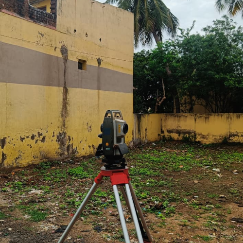
Detailed land mapping to capture terrain features, elevations, and site conditions.
Accurate elevation mapping to analyze land slopes, gradients, and terrain variations precisely.
Contour Survey
Digital Field Measurement Book drawings for precise land record documentation.

Exact positioning and alignment marking for structural anchor and foundation bolts.
Anchor/Bolt Marking (X, Y, Z Alignment)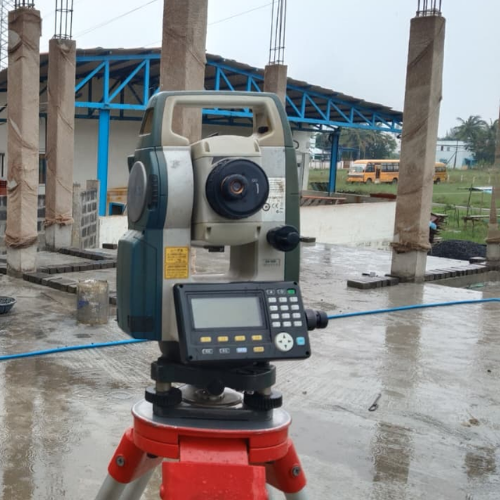
Verification survey to ensure completed construction matches approved drawings.

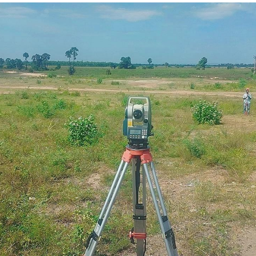
Comprehensive surveying for road alignment, levels, and infrastructure planning.
Road Survey
Precise measurement survey for technical drawings and construction planning.

Professional land subdivision services ensuring clear boundaries accurate measurements.
Land Plot Division
Accurate measurement and calculation of construction materials and project quantities.
Quantity Calculation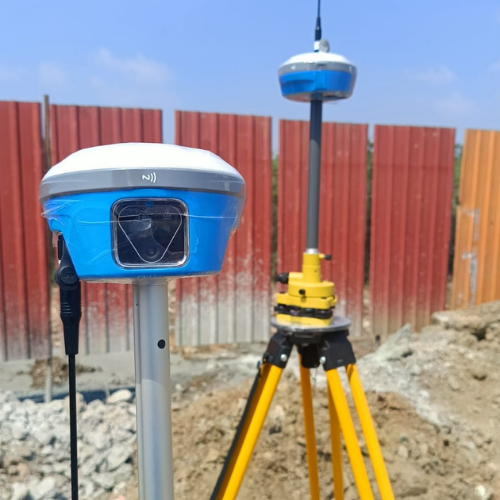
Provides centimeter - level accurate geo-referenced positioning data for land and development projects.
DGPS Survey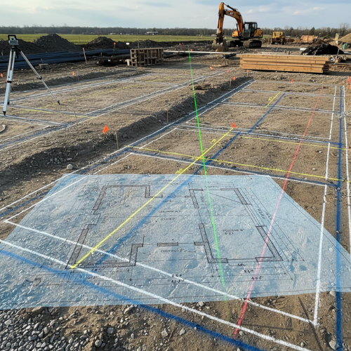
Precise structural layout marking and X, Y, Z alignment for accurate construction execution.
Setting Our Survey
Detailed land mapping to capture terrain features, elevations, and site conditions.
Topographical Survey
Accurate elevation mapping to analyze land slopes, gradients, and terrain variations precisely.
Contour Survey
Digital Field Measurement Book drawings for precise land record documentation
FMB Work (Digital Drawings)
Exact positioning and alignment marking for structural anchor and foundation bolts.
Anchor/Bolt Marking (X, Y, Z Alignment)
Verification survey to ensure completed construction matches approved drawings.
As-Built Survey
Comprehensive surveying for road alignment, levels, and infrastructure planning.
Road Survey
Precise measurement survey for technical drawings and construction planning
Detailed / Blueprint Survey
Professional land subdivision services ensuring clear boundaries accurate measurements.
Land Plot Division
Accurate measurement and calculation of construction materials and project quantities.
Quantity Calculation
Provides centimeter - level accurate geo-referenced positioning data for land and development projects.
DGPS Survey


Precise structural layout marking and X, Y, Z alignment for accurate construction execution.
Setting Out Survey