Services
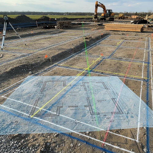
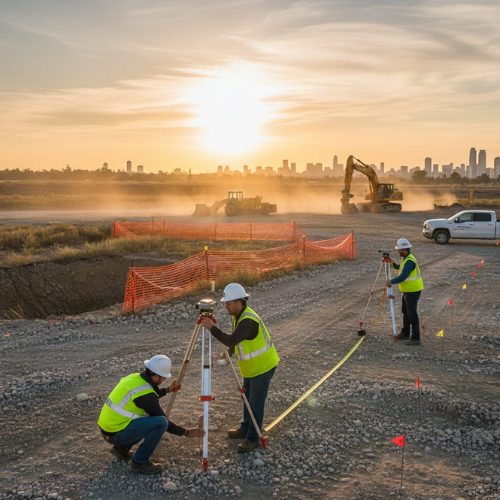
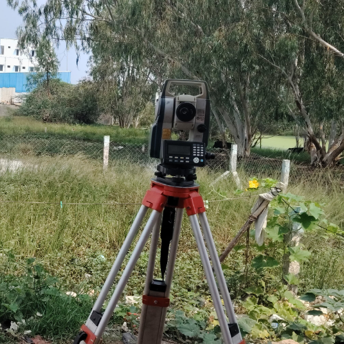
Setting Out Survey
Setting out surveys ensure structures are positioned exactly according to engineering drawings and approved layouts. Our team uses advanced total station instruments and digital tools to mark accurate reference points. This service is essential before construction begins to avoid structural deviations. We carefully transfer design coordinates onto the ground with high precision. Proper setting out guarantees correct alignment, level, and positioning of foundations and columns.
- Eliminates construction errors
- Ensures structural accuracy
- Saves time and rework cost
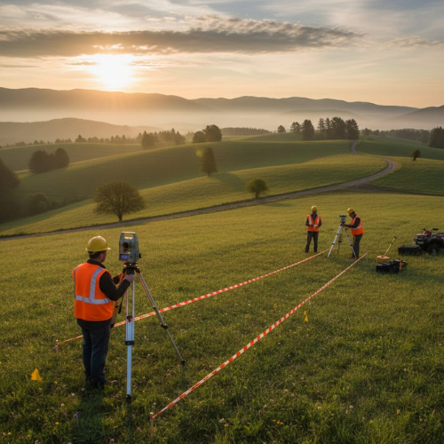
Topographical Survey
Topographical surveys provide detailed information about land features, elevations, and existing site conditions. We collect accurate terrain data to support design, planning, and construction decisions. This survey maps natural and man-made features such as roads, trees, drainage, and structures. Engineers use this data to plan safe and efficient development. Our precise mapping ensures reliable site understanding before project execution.
- Supports project planning
- Accurate terrain analysis
- Reduces design risks
Contour Survey
Contour surveys measure land elevation and slope variations to create detailed contour maps. These maps help engineers understand terrain gradients and land levels. The data is crucial for drainage planning, road design, and construction layout. Our advanced equipment ensures precise elevation measurements across large areas. Accurate contour information helps optimize site development and earthwork calculations.
- Accurate slope analysis
- Better drainage planning
- Reliable earthwork estimates

FMB Work (Digital Drawings)
We provide digital Field Measurement Book drawings that convert manual land records into accurate digital formats. This process improves clarity, accuracy, and usability of land documentation. Our digital drawings are legally reliable and easy to interpret. They help property owners, engineers, and authorities verify land dimensions. Digital FMB records also support approvals and legal processes.
- Clear land documentation
- Legally reliable records
- Easy data access

Anchor / Bolt Marking (X, Y, Z Alignment)
Anchor and bolt marking ensures exact positioning of foundation bolts and structural supports. We mark precise coordinates using digital survey instruments for industrial and commercial structures. This process guarantees alignment accuracy before installation. Proper marking prevents structural misplacement and ensures stability. Our high-precision techniques support safe and strong construction foundations.
- Perfect structural alignment
- Prevents installation errors
- Improves structural safety
As-Built Survey
As-built surveys verify that completed construction matches approved plans and design specifications. We measure final positions, dimensions, and levels of structures. This survey helps detect deviations and confirms construction accuracy. It is essential for documentation, approvals, and project handover. Accurate as-built data ensures transparency and compliance.
- Confirms construction accuracy
- Supports approvals
- Provides final documentation
Road Survey
Road surveys provide detailed data for road design, alignment, and construction planning. We measure ground levels, cross sections, and route positions. This survey ensures proper road gradient, drainage, and structural stability. Engineers rely on accurate survey data for safe transportation infrastructure. Our precise measurements support efficient road development projects.
- Accurate road alignment
- Improved design planning
- Safer infrastructure construction

Detailed / Blueprint Survey
Detailed surveys provide precise measurements for engineering drawings and technical planning. We collect accurate site data required for architectural and structural designs. This survey supports blueprint preparation and construction layouts. It ensures that designs match real site conditions. Reliable data helps avoid errors during construction execution.
- Supports technical drawings
- Improves design accuracy
- Reduces construction errors
Land Plot Division
Land plot division surveys subdivide land into accurately measured plots with clear boundaries. We mark boundary points and prepare detailed layout drawings. This service is essential for real estate development and legal land division. Accurate plotting prevents disputes and ensures proper documentation. Our precise methods guarantee reliable subdivision results.
- Clear boundary marking
- Legal compliance support
- Prevents land disputes
Quantity Calculation
Quantity calculation surveys measure site dimensions to estimate construction materials and volumes. We calculate earthwork, concrete, and structural quantities accurately. This helps contractors plan budgets and resources efficiently. Accurate quantity data prevents material shortages or excess costs. Reliable calculations improve project management and execution.
- Accurate cost estimation
- Better resource planning
- Reduces material wastage
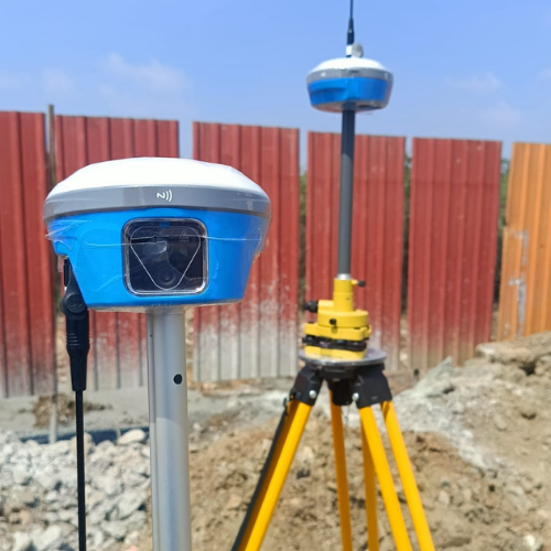
DGPS Survey
DGPS surveys provide highly accurate geographic positioning using differential satellite signals. This technology delivers centimeter-level precision for large land and infrastructure projects. It is ideal for mapping, boundary surveys, and geospatial data collection. Our DGPS equipment ensures reliable coordinate accuracy over large areas. This service supports government, industrial, and engineering applications.
- High positioning accuracy
- Covers large areas quickly
- Reliable coordinate data