About Us
- About Us
Precision Surveying. Reliable Results.
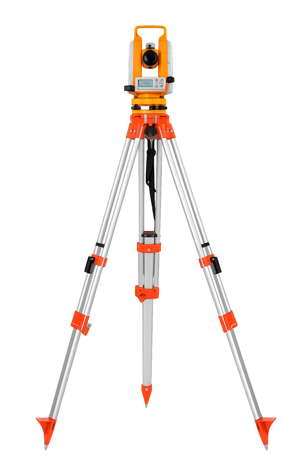
We are a professional land and engineering survey company dedicated to delivering accurate, reliable, and technology-driven survey solutions for infrastructure, construction, industrial, and development projects. Using advanced digital instruments, GPS systems, and modern surveying techniques, we ensure precise measurements, alignment accuracy, and dependable data for every project.
Our expertise covers setting out surveys, topographical mapping, contour surveys, DGPS surveys, as-built verification, digital FMB drawings, road surveys, and land subdivision services. We focus on accuracy, efficiency, and timely delivery to support engineers, architects, contractors, and developers in achieving successful project execution.
With a strong commitment to quality and technical excellence, we provide survey reports and digital documentation that meet industry standards and regulatory requirements. Our goal is to be a trusted surveying partner that clients can rely on for precision, professionalism, and performance.
Our Vision
To become a leading survey solutions provider recognized for precision, innovation, and reliability in land and engineering surveying services across infrastructure and construction industries.
Our Mission
Deliver highly accurate survey data using advanced technology and modern instruments. Support project success through reliable measurements and detailed reporting. Maintain professional standards, and timely execution.
Happy Customers
Projects Completed
Land Topo
On time Delivery
- Why Choose Us
Excellence in Every Survey Projects
High Accuracy & Precision
We use advanced digital survey instruments to ensure precise measurements and error-free alignment for every project.
Modern Survey Technology
Equipped with total stations, GPS systems, and digital mapping software for reliable and fast data collection.
Experienced Technical Team
Skilled professionals with strong expertise in infrastructure, road, and industrial surveying projects.
Timely Project Delivery
Efficient survey planning and execution to meet strict construction timelines without delays.
Complete Survey Solutions
From topographical surveys and contour mapping to digital FMB and quantity calculation, we offer end-to-end services.
Compliance & Documentation
Accurate survey reports and digital drawings that meet industry standards and regulatory requirements.
Ready to Start Your Survey Project?
Get accurate, reliable survey solutions tailored for your infrastructure and construction project needs.